Precision From Above. Insight Beyond Limits.
High-resolution drone mapping and thermal inspections for SWFL's industrial, construction, and land development leaders.
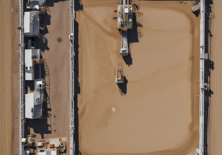
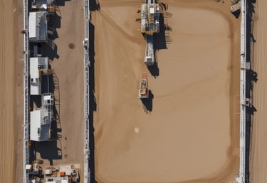
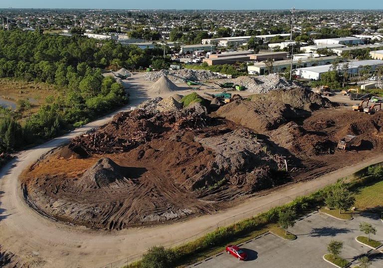
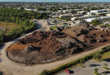
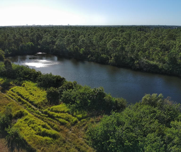
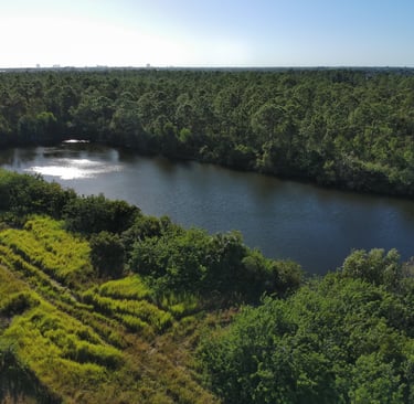
Drone Mapping
High-Resolution Mapping
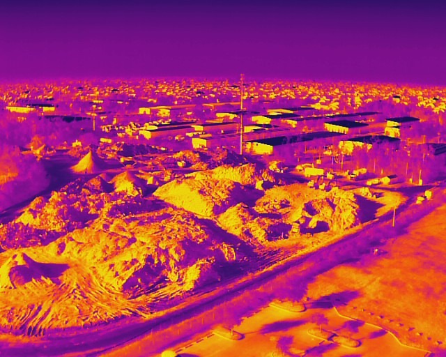
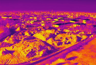
Thermal Imaging
Detect moisture, heat loss, and structural anomalies invisible to the naked eye. Perfect for solar, roofing, and utility infrastructure.
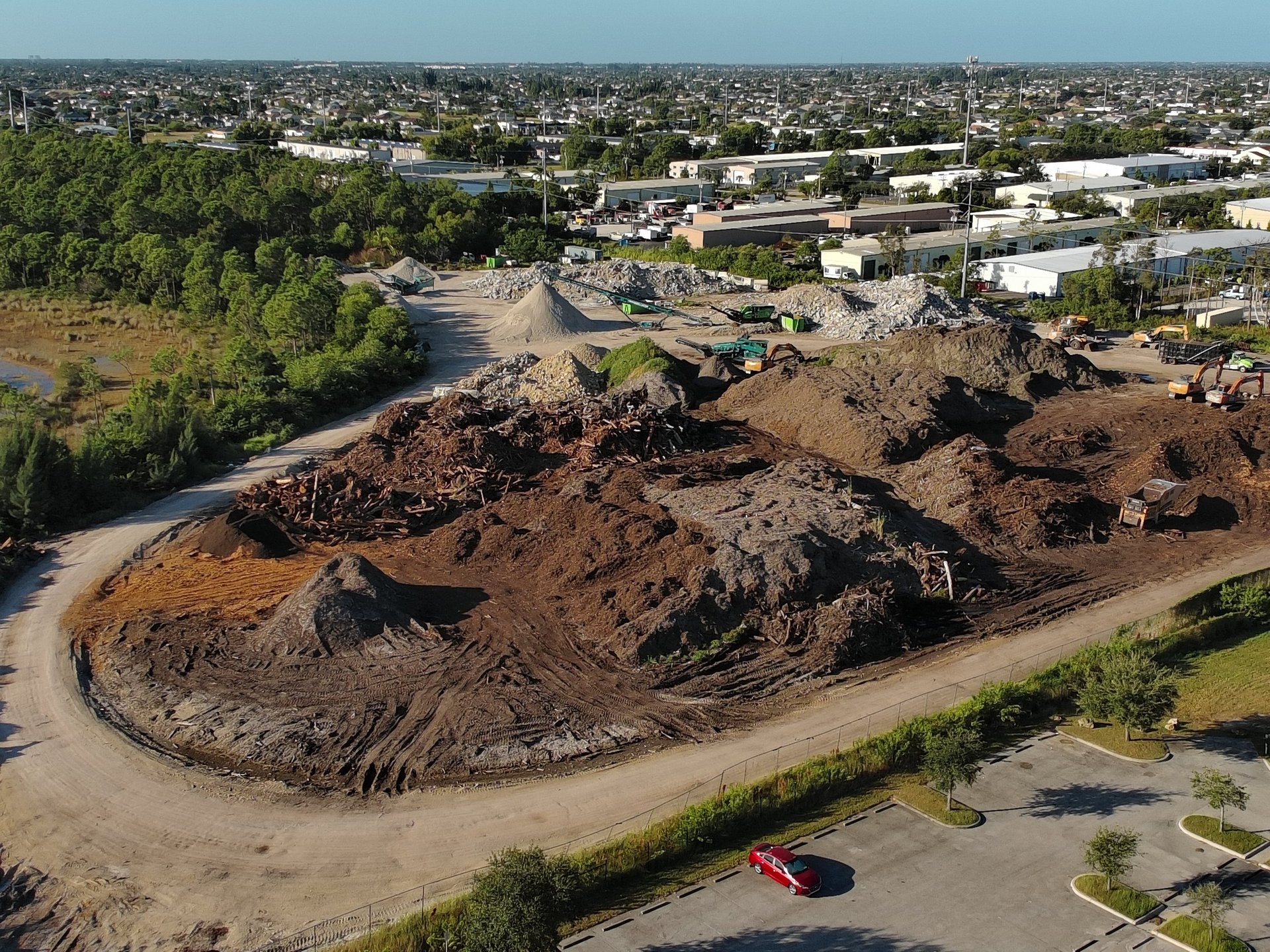
High-quality visual documentation from clearing to completion. Keep stakeholders informed with stunning aerial progress reports.
Land Development
2D Orthomosaics, 3D models, and precise topographic data. Accurate to the centimeter for site planning and volume measurements.
Advanced Thermal Inspections
Site Progress & Visuals
Precision Meets Power: Industrial Drone Services
Stop climbing ladders and start seeing the full picture. Our industrial drone solutions go where you shouldn't—providing high-stakes data with zero-gravity effort. Whether it's detecting invisible heat leaks with Thermal Imaging or creating high-res Orthomosaic Maps for massive infrastructure projects, we deliver the insights you need to make fast, informed decisions.
What we bring to the job site:
Thermal Inspections: Spot hidden moisture, electrical faults, or energy loss before they become "oh no" moments.
Infrastructure & Utility Surveys: Detailed visuals for energy, construction, and facility maintenance.
Data-Driven Mapping: Precise 2D and 3D models of land and assets for total project oversight.
Safe, FAA-certified, and powered by top-tier enterprise tech. We handle the flight; you get the data.
Why Cape UAV?
Professional Grade. Fully Insured
FAA Part 107 Certified:
Every mission is handled by licensed Remote Pilots
Enterprise Tech
We use next-generation drones for maximum data precision
SWFL Experts
Deep Knowledge of the local Southwest Florida landscape and regulations.
Fully Insured:
Safety and professionalism are our top priorities.
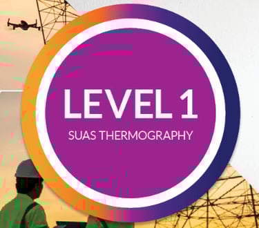
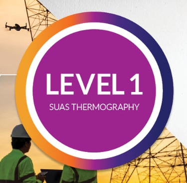
Certified UAS Thermography
We don't just capture heat maps; we interpret them. Our thermology certification ensures your data is accurate, actionable and meets industry standards.
Get Your Precision Quote Today
Tell us about your project, and we'll provide a custom proposal within 24 hours.
Contact:
Email:
Phone:
(239) 899-0648
© 2026. All rights reserved. Website by MindBotics