DRONE MAPPING
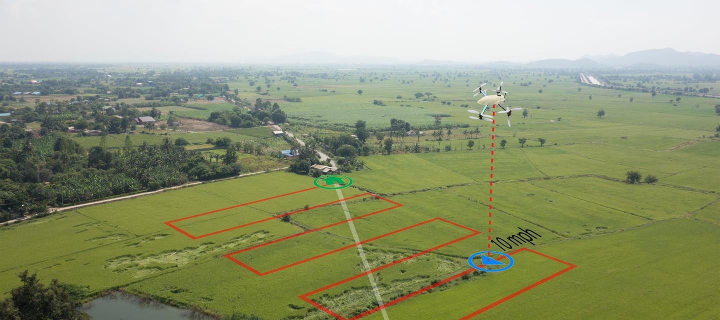
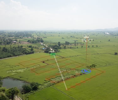
Drone mapping uses GPS-guided drone flights and high-resolution aerial photography to create accurate 2D maps, elevation models, and 3D site reconstructions. These outputs include orthomosaic maps, digital surface models (DSM), and topographic data that provide a complete, measurable view of land, buildings, and infrastructure.
At Cape UAV, our drone mapping services deliver high-resolution
visual data to support professional planning.
Our aerial mapping solutions help organizations plan better, reduce risk, and make informed decisions backed by
accurate spatial data.
Industries and Applications
Cape UAV’s drone mapping services support a wide range of industries and operational needs:
Construction Planning & Progress Tracking
Track job-site progress, verify grading accuracy, compare timeline milestones, and improve collaboration between contractors, engineers, and project managers.
Land Development & Property Layout
Create precise site maps and terrain models for zoning, permitting, drainage planning, and development feasibility analysis.
Roofing & Large-Site Documentation
Capture detailed overhead imagery for measurements, inspections, and documentation—without ladders, lifts, or safety risks.
Agriculture & Irrigation Planning
Analyze land contours, drainage patterns, and field layouts to support efficient irrigation planning and agricultural optimization.
Utilities & Infrastructure Mapping
Document roads, pipelines, power corridors, and facilities for planning, asset management, maintenance, and regulatory compliance.
Benefits of Drone Mapping
Drone mapping delivers measurable advantages over manual surveying and ground-based inspections:
Significantly reduces field time and labor costs
Provides consistent, repeatable measurements over time
Improves safety by minimizing on-site exposure
Enhances visualization and planning accuracy
Enables faster decision-making with digital documentation
With drone mapping, teams gain clarity, confidence, and control throughout the project lifecycle


Drone mapping complements and, in many cases, replaces traditional methods with faster and safer data capture.
Return on Investment (ROI)
Drone mapping frequently pays for itself within one to three projects. Clients achieve ROI by:
Reducing manual surveying and inspection costs
Identifying design and grading issues early
Preventing expensive rework and delays
Improving scheduling accuracy and resource allocation
Maintaining reliable documentation for audits and reporting
Accurate aerial data eliminates guesswork and protects project margins.
Technical Deliverables
Cape UAV provides professional-grade deliverables tailored to your project needs, including:
Orthomosaic Maps (Geo-referenced 2D imagery)
Digital Surface Models (DSM)
Digital Elevation Models (DEM)
Contour Maps
3D Site Models and Reconstructions
High-Resolution Aerial Image Sets
Measurement Outputs (area, distance, volume)
All deliverables are provided in industry-standard formats compatible with CAD, GIS, and project management platforms.
Note: While our mapping data is high-resolution and provides precise visual insights, it is intended for project tracking and planning purposes only and is not a substitute for a professional land survey performed by a licensed surveyor.
Contact:
Email:
Phone:
(239) 899-0648
© 2026. All rights reserved. Website by MindBotics