Drone Inspections, Mapping & Thermal Imaging
in Southwest Florida
FAA-Certified Drone Services for Construction, HOAs, Roofing, and Real Estate across Cape Coral, Fort Myers, and Naples.
Next-Generation Drone Intelligence
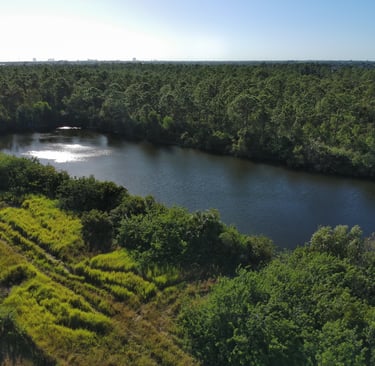
Cape UAV captures stunning aerial photography, 6K video, and precision thermal imaging with top-tier enterprise drones. Every mission is handled by fully insured, FAA Part 107–certified Remote Pilots for maximum professionalism and safety.


FAA Part 107 Certified | Fully Insured | Enterprise Thermal Drones | Certified Thermology | Serving Southwest Florida.
Our Services
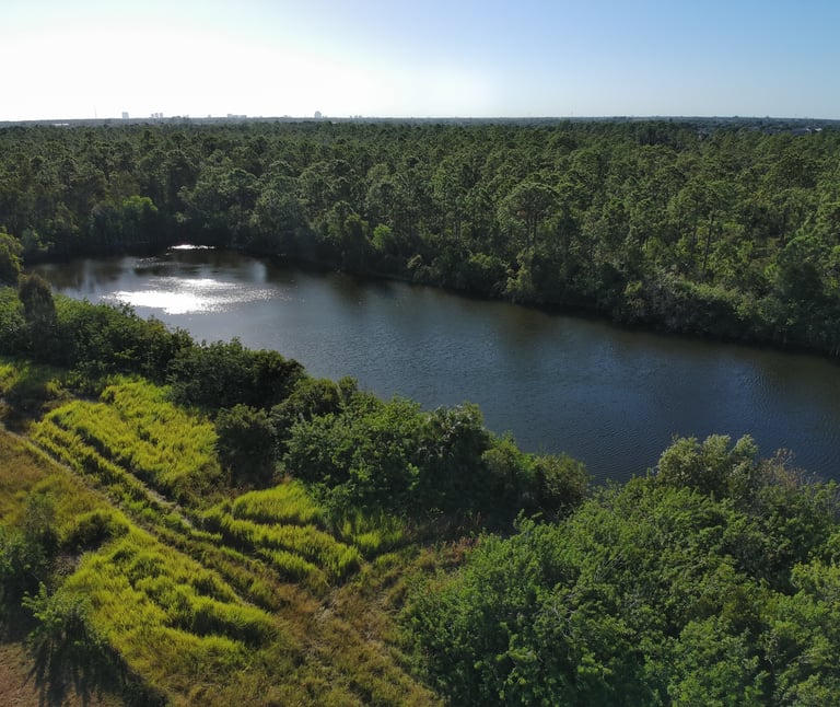
Real Estate
Stunning aerial photos and videos to showcase your property’s best angles.


Drone Mapping
Drone Mapping provides accurate, high-resolution orthomosaic maps created from detailed aerial imagery. By capturing hundreds of images with GPS-guided drones, we produce precise 2D maps, elevation models, and 3D views of your land or property.
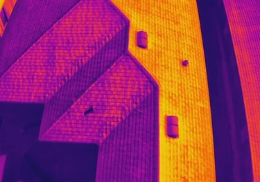
Thermal imaging inspections to detect issues invisible to the naked eye.
Thermal Imaging & Inspections


Get Your Precision Quote Today
Tell us about your project, and we'll provide a custom proposal within 24 hours.
Contact:
Email:
Phone:
(239) 899-0648
© 2026. All rights reserved. Website by MindBotics